
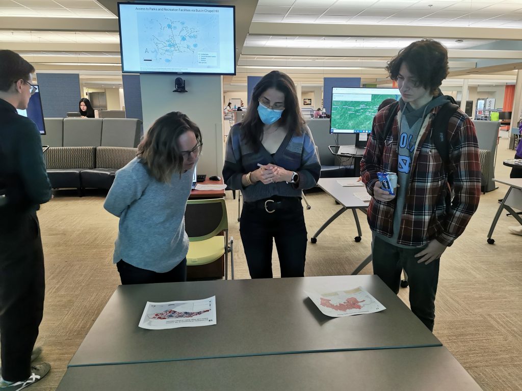
In a remarkable display of talent and innovation, geography students from the geography took center stage at the 2023 University GIS Day map competition, showcasing their prowess in geographic information systems (GIS) and cartography. The event, held on November 15, 2023, saw the participation of students from various disciplines, but it was the geography students who truly stood out.
Geography Faculty members participated in the event: Professor Erika Wise (left), Professor Elizabeth Havice (Right)
Claiming the second-place honor was Joshua Garcia, an adept geography student, who crafted an enthralling animated gif (map) depicting the Spanish Conquest of Cuba from 1509 to 1515. The time-lapse map not only showcased technical expertise but also presented a captivating historical narrative.
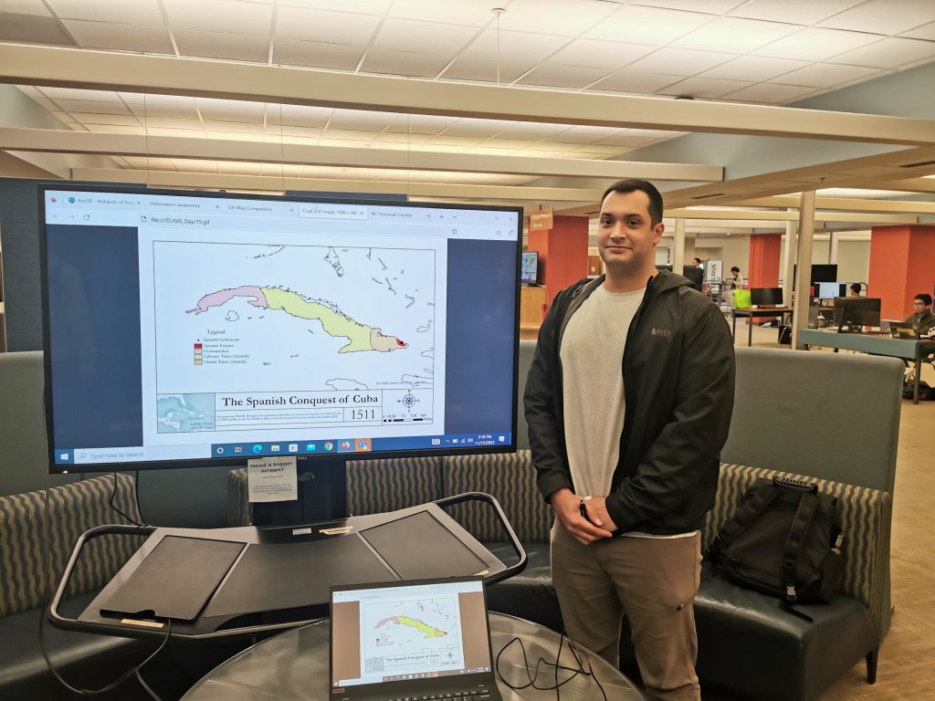
Joshua and his map 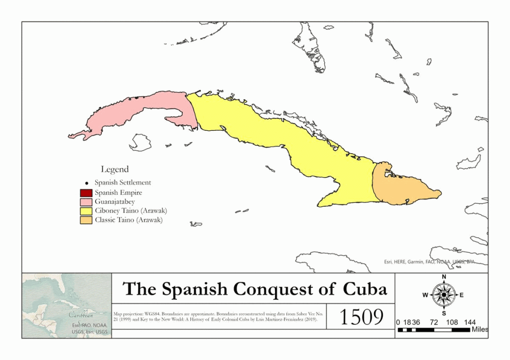
Spanish Conquest of Cuba from 1509 to 1515.
Not to be outdone, a graduate student from the geography department, Mark Chilton, secured the third-place position with a meticulously crafted map titled “A Chorus Silenced: The Community of Color at the University of North Carolina, July 1850.” Using a combination of deeds, wills, census records, local histories, and family papers from the Southern Historical Collection, Mark managed to unveil the names and locations of every person of color residing in Chapel Hill during the 1850 Census. The map aimed not only to illustrate the spatial distribution of the community but also to emphasize their humanity by identifying individuals by name.
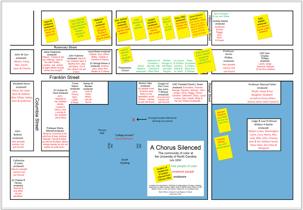
A Chorus Silenced: The community of color at the University of North Carolina July 1850
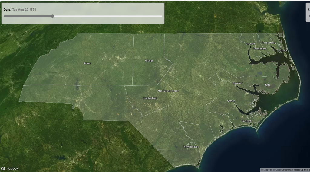
The most outstanding achievement of the day, however, belonged to Kerry Bannen, a graduate student from the School of Information and Library Science at UNC. Kerry’s online and interactive map titled “North Carolina Counties thru Time” secured the coveted first place in the GIS Day map contest. The map, accessible at [link], offers a zoomable interface with a timeline, allowing users to scroll through time and witness the evolution of county boundaries in North Carolina. This innovative approach to presenting historical data garnered widespread acclaim from both judges and attendees.
The University GIS Day map competition not only celebrated the students’ ingenuity but also highlighted the diverse applications of GIS in various fields. The triumphant entries showcased the UNC’s commitment to fostering excellence in spatial analysis and cartography.