
Geography graduate student Tong Qiu’s GIS research project “Automatic Extraction of Water Bodies from ZY-3 Imagery based on spectral signature: A case study in Wuhan City” just won first place in the 2018 UNC Innovative Use of GIS Competition.
In his project, the spectral signature of water was used to extract water bodies automatically from remotely sensed imagery in our study site, Wuhan City. Qiu developed python script to apply the image preprocessing and water extraction algorithm to the remote sensing dataset. Afterwards C#/Arc Engine developer kit was used to develop the graphic user interface for the algorithm and build the prototype desktop system. The developed system greatly improved the water extraction process and accuracy assessment.
 Band Combination

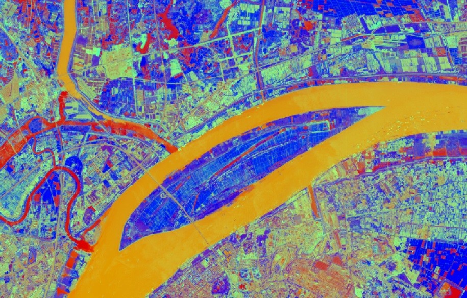
Results for experimental region

Water Extraction Results