
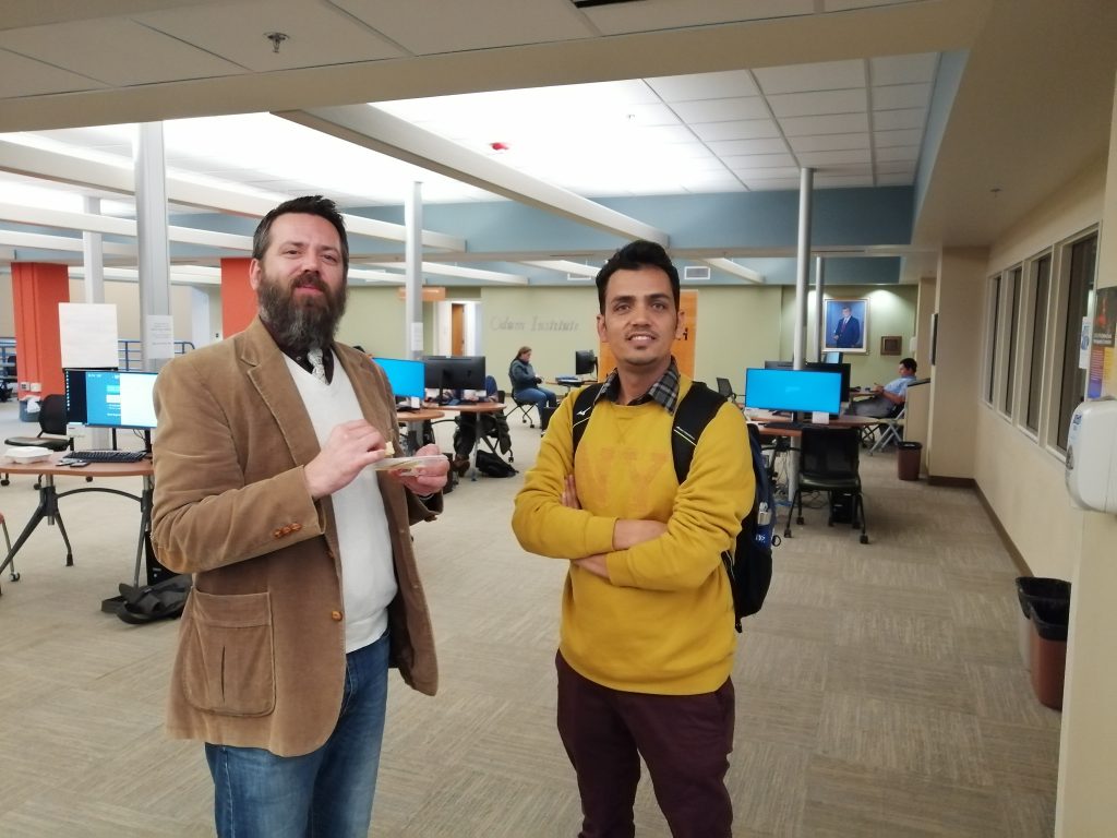
UNC libraries celebrated 2018 GIS Day on Nov. 14, 2018 with two activities – Student Map Competition and Humanitarian Mapathon. The event was sponsored by the Department of Geography and the University Libraries. The winners of the map competition were decided by popular votes from event participants.
Geography graduate student Rajesh Bista receives the first place in the 2018 UNC GIS Day Map competition. Below is the map from him. For more information about this map, please read the story from Rajesh.
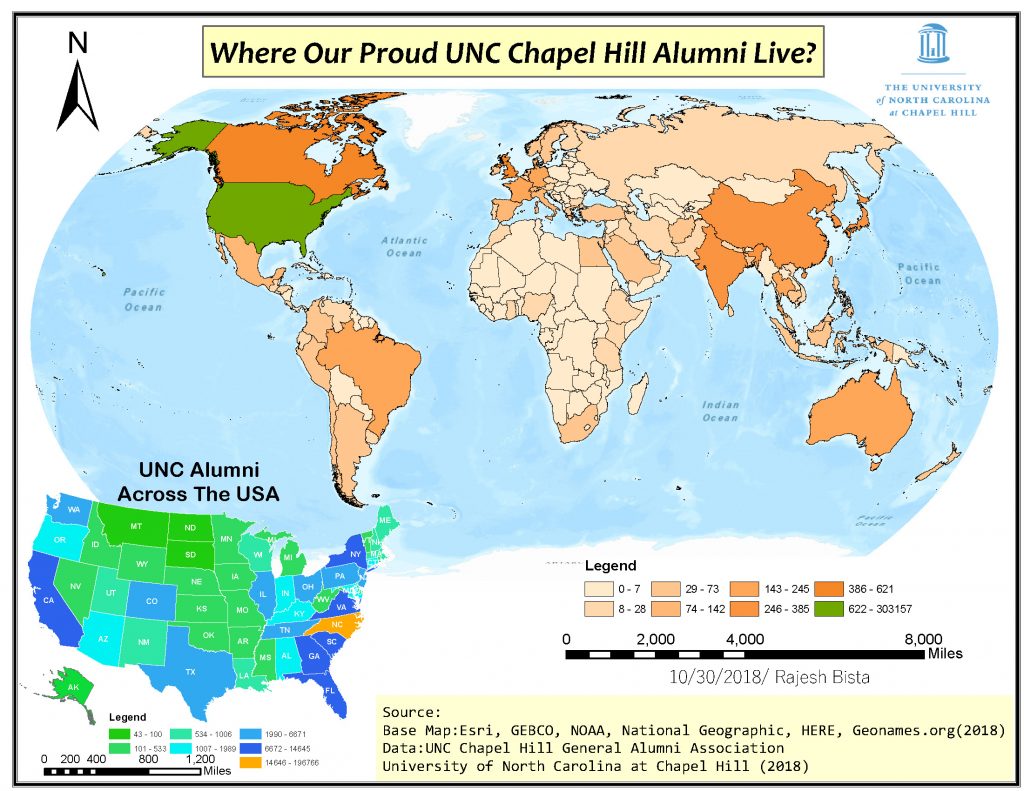
Above is 2018 GIS Day Map Competition First Place Map
Geography major Walker Harrison, who is taking Geog591 – Urban GIS Applications this semester, created a map for GIS Day map competition, and won second place. For his map story, please follow this link. Below is his map.

Above is 2018 GIS Day Map Competition Second Place Map
Third place was received by Kennedy McGuinness, an Environmental Science student. Below is her story about the map:
“As a student in the field of Environmental Science, I am interested in understanding the many correlations between environmental conditions and US demographics. Each year, the EPA releases a report—known as the Air Quality Statistics Report—that provides that year’s average measurements of six key pollutants, one being the particulate PM2.5. These recordings are made in hundreds of cities across the country, each location defined by their CBSA. By mapping the CBSAs and their correlated PM2.5 values, I was able to utilize IDW interpolation to develop a predicted distribution of the particulate. As you can see by the map, the highest presence of PM2.5 lies on the western coast of the country, mainly in south-central California. I specifically chose to analyze PM2.5 because I am aware of its negative effects on the human respiratory system; I eventually would like to compare the particulate’s geographic distribution with the distribution of other factors such as wealth, employment, and education on a lower level. By these comparisons we may be able to recognize cases of environmental injustice within the United States.”
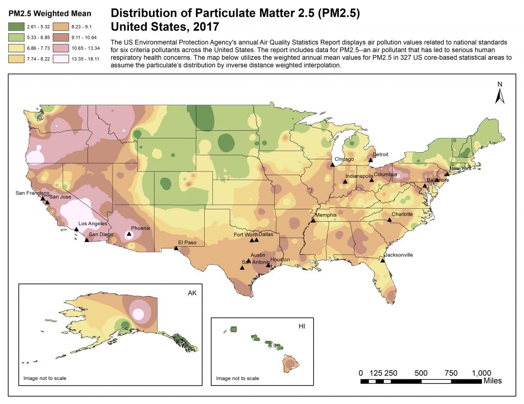
Above is 2018 GIS Day Map Competition Thrid Place Map